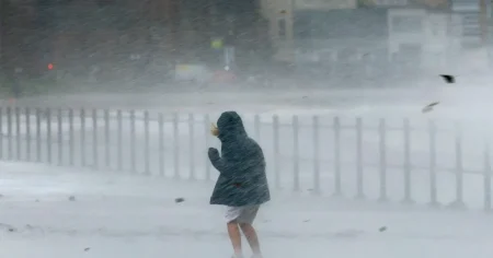


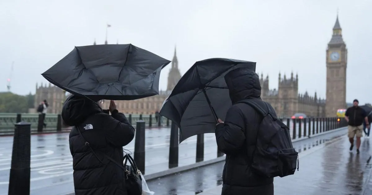
Just as the nation lets out a collective sigh of relief, with Storm Boelo finally moving away from the UK after days of unrelenting rain and wind, the Met Office is already urging everyone to brace for the next round of disruptive weather. The weekend was a bruising one, marked by power outages, flooding, and the kind of destructive gusts that made going outside feel like a gamble. But the calm that followed the storm’s departure is set to be short-lived. Another deep area of low pressure is already sweeping in from the Atlantic, and forecasters have issued new yellow weather warnings for wind, with one of them carrying the stark warning that it could present a “danger to life.” The language alone is enough to make anyone pause. It is not the kind of phrase meteorologists use lightly, and it serves as a reminder that, even in a country accustomed to gloomy skies and blustery days, there are moments when nature demands a little more respect. For many, this feels like a cruel twist coming on the heels of the weekend’s chaos, but the weather, of course, does not care about our plans or our need for a quiet Monday.
The first of these new warnings comes into effect at 6pm this evening and will remain active until 3am tomorrow morning. It affects a broad swath of the country, including parts of northwest England, Northern Ireland, southwest England, southwest Scotland, and west Wales. For anyone living in those areas, the message is simple: keep your wits about you. The warning is yellow, meaning the weather is likely to cause some disruption, but it does not quite reach the severity of an amber or red alert. Still, it should not be underestimated. Forecasters are predicting another spell of heavy rain and strong gales, likely to lash coastal communities and travel routes during the evening and into the dead of night. It is the kind of weather that rattles windows, knocks bins over, and turns an ordinary commute into a tense and slippery affair. Drivers are being advised to slow down, especially on exposed stretches of road, and pedestrians should think twice before walking along seafront path where waves could wash over. The timing could not be worse for people trying to settle back into their workweek routine after a turbulent weekend. The memory of the previous storm is still fresh, and this new system arrives with an unsettling sense of deja vu.
The second warning, and the one that has attracted the most attention, is set to take effect on Tuesday. It covers all of Scotland and the northern parts of Northern Ireland, running from 3am until 9pm in the evening. This is the warning that carries the most serious language, with the Met Office explicitly highlighting a small chance of danger to life. The greatest concern is along the coast, where large waves and beach material could be thrown onto sea fronts, coastal roads, and properties. It is a chilling image: the sea, swollen and furious, hurling stones and debris at homes and highways. But inland, there are risks too. Flying debris could cause injury, and the storm could knock out power lines, leading to outages for thousands of households. Journey times are expected to be longer, and cancellations are possible, so anyone planning to travel on Tuesday should expect disruption. Roads and bridges may close, and buildings could suffer damage, with tiles ripped from roofs and trees toppled across streets. While the Met Office is quick to point out that this system is not expected to be as severe as Storm Boelo, it warns that its effects could be amplified because it is arriving so soon after the previous storm. The ground is already saturated, trees have been weakened, and infrastructure that was tested over the weekend may not be fully repaired. In a sense, this is not just a new storm; it is a second blow to a nation still trying to catch its breath.
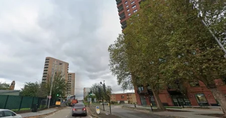
To understand why these warnings feel so heavy, it is worth looking back at the devastation Storm Boelo left behind. Over the weekend, the storm ripped through the country, leaving a trail of destruction and, tragically, causing multiple injuries and fatalities. In south London, on Streatham High Road, two pedestrians were rushed to hospital after being crushed by falling scaffolding. In Dumfries, Scotland, a 60-year-old man was killed by a falling tree just after 10am on Sunday, a sudden and heartbreaking moment that turned a normal morning into a family’s worst nightmare. And in Mill Hill, London, another man was killed while sitting in his car, crushed by a falling tree at 12.40am during the height of the storm. These are not abstract statistics; they are real people, going about their lives, caught in the wrong place at the wrong time. The storm also caused widespread power outages and flooding, leaving many homes dark and cold, and forcing emergency services to work around the clock. For the families affected, the arrival of another storm system must feel deeply unsettling. Every gust of wind and burst of rain will inevitably bring back memories of the fear and loss of the last few days. The new warnings are not just about inconvenience or travel delays; they are about keeping people safe in a world where extreme weather is becoming increasingly common.
As for what happens next, there is still some uncertainty around whether this incoming system will be strong enough to earn a name. The Met Office has not yet declared it a named storm, and forecasters are keeping a close eye on its development. But regardless of what it is called, its impacts will be felt by those in the affected areas. For now, the focus is on getting through Monday night and Tuesday without incident. Beyond that, however, there is a glimmer of hope. The Met Office has predicted that conditions will settle by midweek, with an area of high pressure building close to the UK and bringing calmer weather. Rain is expected to continue into Wednesday, but most of the country should be dry by the end of the day. That forecast will come as a welcome relief to millions of people who have spent days battening down the hatches, checking forecasts, and worrying about loved ones in exposed areas. It offers the promise of gentler skies, of being able to walk outside without being battered by the wind, and of a return to some semblance of normal life. There is something deeply comforting about knowing that, eventually, the storm will pass.
In the meantime, the best thing anyone can do is prepare. That means taking the warnings seriously, even if the sun is shining at the moment. It means securing garden furniture, checking on elderly neighbours, making sure phones are charged, and keeping torches and basic supplies nearby in case of power cuts. It means avoiding coastal paths and beaches when the warnings are in effect, no matter how dramatic the waves may look. It means giving yourself extra time for travel, staying patient with other drivers, and being gentle with those who are anxious or still recovering from the weekend’s events. Storms have a way of bringing out the best in communities, too. Neighbours help each other clear fallen branches, strangers offer lifts to those stranded by cancelled trains, and local volunteers check on people who might be vulnerable. It is in these moments that the true character of a place reveals itself. The coming hours may be rough, but they will not last forever. The wind will eventually ease, the rain will stop, and the sky will clear. Until then, it is worth remembering the simple advice that always applies in weather like this: stay safe, stay indoors if you can, and keep a close eye on those around you. However unsettled the atmosphere may be, resilience, patience, and a little kindness will carry everyone through to the calm on the other side.