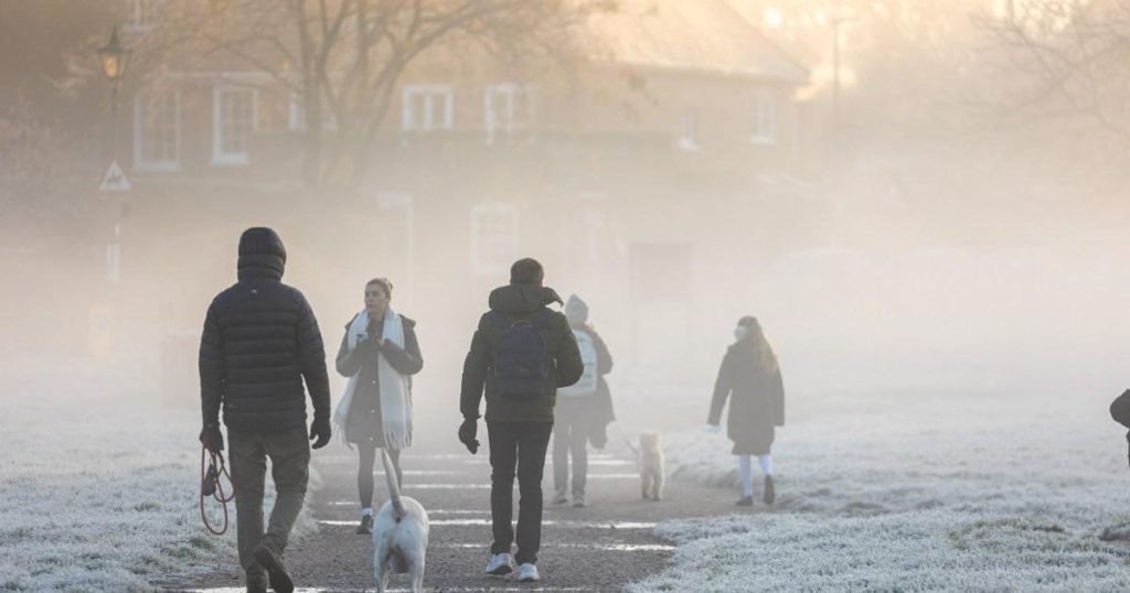
The UK is experiencing a shift back to wintry temperatures after a mild weekend, with temperatures expected to drop to as low as minus 7C on Monday night. The Met Office is predicting wet and windy conditions throughout the week, with various bands of rain moving in from the west. Despite the rain, no significant issues are expected, and western areas will see the most rainfall. Temperatures will be below average throughout the week, with some outbreaks of rain and northerly winds. Tuesday will see a band of rain gradually moving in from the west, with temperatures remaining in the mid-single figures, making it feel chilly.
Overnight frost is expected on Monday night, with temperatures potentially falling to around minus 7C in rural Scotland. Following this cold spell, temperatures are expected to return to average from midweek onwards, with periods of rain and dry interludes. The balmy weather experienced over the weekend was a brief revival in temperatures after freezing conditions in November. Last winter was the eighth wettest in 150 years, and this winter is shaping up to be similar. Warmer temperatures are able to hold more water, fueling more intense rainfall. The polar jet stream, a band of strong westerly winds, plays a significant role in the UK’s climate, influencing the weather patterns and leading to rainier conditions in the winter.
The jet stream affects the UK the most during the winter months, bringing rainy weather from the Arctic. If global warming continues, it is likely that the jet stream could result in even wetter winters but drier summers. The increased water vapor in the atmosphere due to warmer temperatures contributes to more intense rainfall, as reported by The Week. November saw frosty conditions, and December is expected to bring similar weather patterns. The Met Office warns of topsy-turvy weather with temperatures rising briefly before plunging again. The UK experienced two major storms in November, contributing to one of the wettest years in recent memory. The weather is expected to fluctuate day by day, with periods of rain and dry interludes throughout the week.
In conclusion, the UK is facing a return to wintry conditions after a mild weekend, with temperatures expected to drop significantly and rainfall forecasted throughout the week. Warmer temperatures holding more water vapor contribute to the intense rainfall experienced in recent months. The polar jet stream plays a key role in the UK’s weather patterns, bringing rainy weather from the Arctic during the winter. Global warming may lead to even wetter winters and drier summers in the future. As the weather continues to fluctuate, it is essential to stay updated on the latest news and forecasts.


