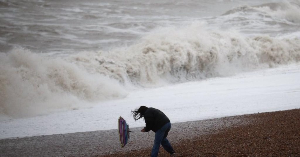
Storm Eowyn, the first named storm of 2025 and the fifth to impact the UK since late October 2024, is poised to unleash powerful winds and challenging weather conditions across the country starting Friday, February 7th. The Met Office has issued an amber warning, the second highest level, for strong winds affecting Northern Ireland, northern Wales, northern England, and southern Scotland, with gusts potentially exceeding 80 mph and reaching up to 90 mph in exposed coastal and hilly areas. This potent storm threatens significant disruptions, including flying debris, power outages, transportation delays and potential risks to life and property.
Beyond the amber warning zone, the entire UK is under yellow wind warnings, highlighting the widespread impact of Storm Eowyn. For eastern England and London, this warning is in effect from 5 am to 3 pm on Friday. The rest of England, Wales, the Midlands, Scotland, and Northern Ireland are covered by a yellow warning from midnight to 11:59 pm on Friday. The storm’s impact is multifaceted, encompassing not just wind but also heavy rainfall, with a yellow rain warning issued for southwest England and parts of Wales from midnight to 9 am on Friday. Additionally, parts of Scotland brace for snow with a yellow snow warning from 3 am to midday on Friday.
The storm’s trajectory begins in southwest England early Friday, rapidly progressing northeastward across the UK by mid-morning. The strongest winds are anticipated across the areas covered by the amber warning, where the combined effects of high wind speeds and exposed locations pose significant hazards. The Met Office has emphasized the importance of staying updated with the latest forecast information as the storm approaches. The warnings underscore the potential for widespread travel disruptions affecting roads, railways, airports, and ferry services.
The Met Office has issued specific advice to the public in anticipation of Storm Eowyn’s impact. Motorists are urged to check road conditions before traveling and to exercise extreme caution. In preparation for potential power outages, residents are advised to gather essential supplies, including torches, batteries, and mobile phone power banks. The inherent dangers of coastal areas during severe storms are highlighted, with warnings against approaching shorelines due to the risk of large waves.
Storm Eowyn’s arrival follows a series of named storms that have impacted the UK in recent months, underscoring the ongoing challenges posed by volatile weather patterns. The storm’s wide-ranging impacts, from high winds and heavy rain to snow in some areas, demand preparedness and vigilance from the public. The potential for disruption is significant, requiring individuals, businesses, and transportation networks to take precautions and adapt to the evolving weather conditions.
The sequence of warnings – amber for wind in the most exposed regions, yellow for wind across the entire UK, yellow for rain in parts of the south and west, and yellow for snow in parts of Scotland – paints a comprehensive picture of Storm Eowyn’s multifaceted nature. The potential for gusts over 80 mph in some areas highlights the serious risks associated with this storm, including potential structural damage, downed trees, and power outages. The advice to stay informed about the evolving forecast is crucial, as conditions can change rapidly during such weather events. The emphasis on gathering essential supplies and avoiding coastal areas underscores the importance of individual preparedness in mitigating the storm’s impact.


