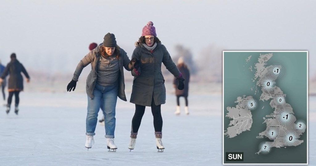
The United Kingdom has recently been subjected to a prolonged period of intensely cold weather, marked by widespread snow, ice, and sub-zero temperatures. The Met Office issued a series of yellow and orange weather warnings, highlighting the severity of the conditions. This frigid weather has brought significant disruption to daily life across the country. Travel has been severely impacted, with icy roads and pavements causing hazardous conditions for motorists and pedestrians alike. School closures have become commonplace, disrupting education for many students. Air travel has also been affected, with flights from major airports experiencing delays and cancellations. The extreme cold has pushed energy demand to high levels as residents strive to keep warm, leading to concerns about gas supplies. The lowest temperature recorded was a chilling -18.7°C in Altnaharra, Scotland, the coldest temperature in the UK for 15 years.
This extended cold snap, which began around New Year’s Day, has seen almost daily weather warnings from the Met Office. While these warnings are no longer in effect, much of the UK remains under a cold-health alert until Tuesday. This alert signifies the potential for the freezing temperatures to have a substantial impact on vulnerable populations, particularly the elderly, and could lead to increased hospitalizations and even fatalities. The prolonged exposure to such low temperatures poses a serious threat to public health.
The widespread snow and ice have not only caused travel disruption but also transformed the landscape. Many areas of the UK have been blanketed by several inches of snow, creating picturesque scenes but also treacherous conditions underfoot. The extent of the snow coverage has been so significant that it has been easier to identify the few areas not under a yellow weather warning than those that were. This visual representation underscores the pervasive nature of the cold snap and its impact on the entire country.
However, there is reason for optimism. Forecasters predict a gradual warming trend in the coming days. The dominance of high pressure is expected to bring milder conditions and thaw the nation. High pressure systems force warm air downwards, dispersing cloud cover and allowing more sunlight to reach the surface, thereby increasing temperatures. This transition is expected to begin on Sunday, with temperatures steadily rising throughout the week. While some areas, particularly Scotland and Northern Ireland, may still experience freezing temperatures overnight into Monday, they are expected to see above-average temperatures by Monday, reaching around 8°C.
The shift from freezing to milder temperatures brings with it a different set of challenges. Melting snow and ice are likely to cause flooding in some areas, particularly in northern England and the Pennines. It is crucial for residents to stay informed about local flood alerts and warnings issued by environment officials. By Wednesday, temperatures across the UK are expected to rise to between 6°C and 10°C, remaining in the double digits thereafter. While the Met Office predicts slightly above-average temperatures for the week, some regions, especially the south and east, may experience colder mornings under clear skies and lighter winds.
While the overall trend is towards warmer weather, the Met Office cautions against expecting entirely clear skies. The northwest is anticipated to experience rain and wind initially, which will eventually spread across the entire UK. By the following weekend, Atlantic air will bring milder and windier conditions, potentially leading to bands of rain and stronger winds. However, the possibility of brief cold northerly spells remains after any deep low-pressure systems cross the region, though these are expected to be short-lived before milder westerly winds return. The recent cold snap is attributed to the combined influence of the jet stream, a powerful band of winds high in the atmosphere, and a persistent low-pressure system to the east. This combination has channeled bitterly cold Arctic air from the north towards the UK, resulting in the prolonged period of freezing temperatures.


