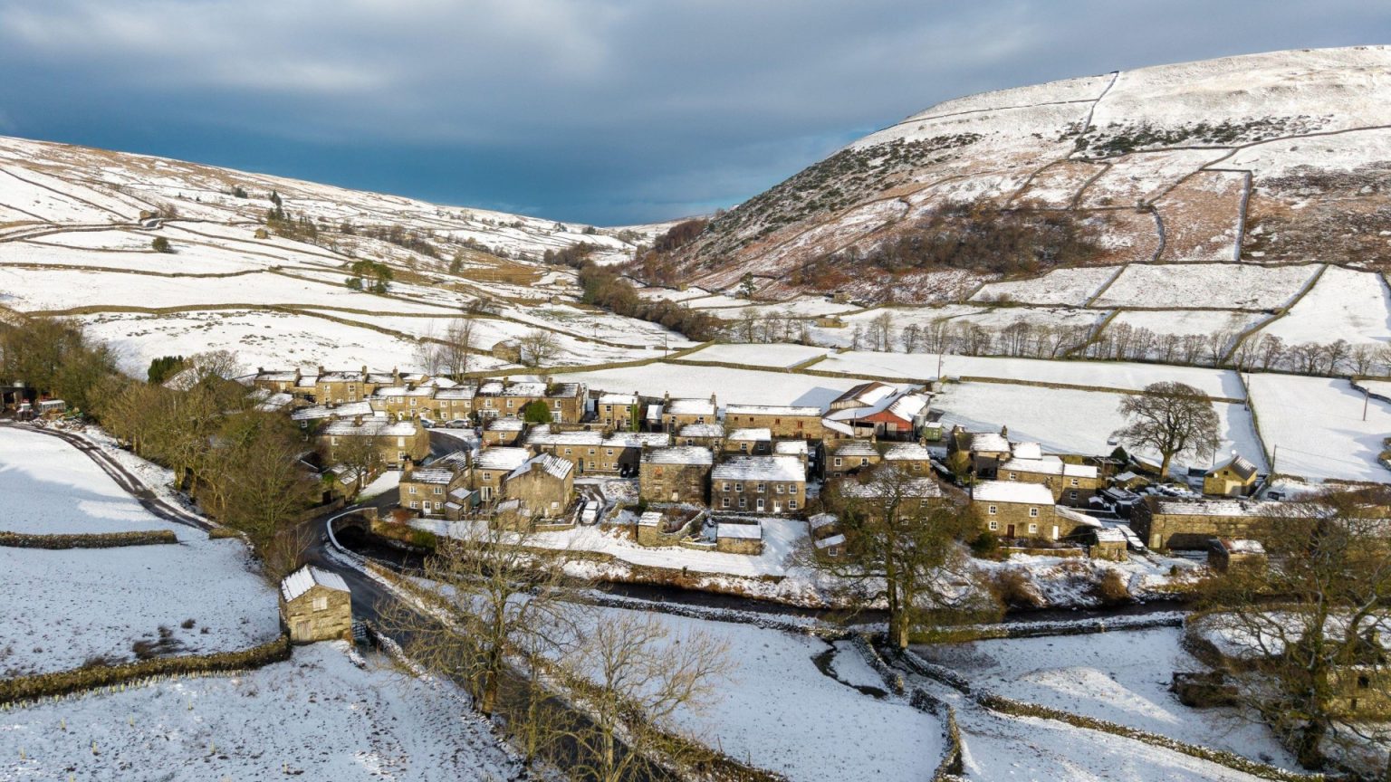
The Met Office has issued a detailed weather forecast for the upcoming New Year’s period, highlighting a transition from relatively mild conditions to a colder, more unsettled spell. Initially, New Year’s Day will see rain sweeping southeastwards across Britain, followed by a shift to a cold northerly wind. This shift will bring showers of rain and sleet, increasingly turning to snow, particularly in northern regions. This cold, showery northerly flow is expected to persist for several days, marking a distinct change from the preceding weather patterns. However, following this period of unsettled weather, high pressure is anticipated to build from the west, gradually bringing more settled conditions. While temperatures will initially dip with the arrival of the northerly flow, they are projected to recover to levels nearer the seasonal average, and may even reach mild levels in some areas. The north and west of Britain are expected to experience the wettest and windiest conditions, while the south and east are likely to remain comparatively drier and more settled.
A key feature of this forecast is the potential for wintry showers, driven by the establishment of a cold northerly airflow. The Met Office has issued a yellow rain and snow warning covering much of Scotland for the entirety of Monday, December 30th, extending until just before midnight on New Year’s Eve. This warning emphasizes the possibility of fast-flowing or deep floodwater, representing a potential danger to life. Significant precipitation is anticipated, with up to 140mm of rain and 20cm of snow possible within the warning zone. The affected area encompasses the Scottish mainland north from Kilmarnock and Edinburgh, including the Western Isles. Snow is also likely on higher ground in and around Perthshire. The combination of strong winds and snowfall raises the possibility of blizzards, particularly in higher terrain and across much of Sutherland and Caithness.
These challenging conditions are expected to create difficulties for travel, with spray and flooding likely to lead to challenging driving conditions and potential road closures. Longer journey times are anticipated for road, bus, and train services, and the possibility of some communities being cut off altogether cannot be ruled out. The potential impact on infrastructure also includes the risk of flooding affecting homes and businesses, potentially causing damage to buildings. Power outages and disruption to other services, such as mobile phone coverage, are also possible. Furthermore, delays or cancellations to train and bus services are anticipated due to the rain and snow.
Scottish First Minister John Swinney has acknowledged the weather warnings and their potential impact on outdoor Hogmanay celebrations. He emphasized the importance of resilience planning and urged the public to heed the warnings, which are expected to evolve over the coming days. Swinney stressed the need for vigilance and adherence to safety advice in order to ensure that festivities can be enjoyed safely despite the challenging weather conditions. The government is actively monitoring the situation and working to mitigate potential risks.
In addition to the rain and snow warning, a yellow wind warning has been issued covering Durham, Northumberland, Cumbria, and North Yorkshire from 11am to 6pm on December 30th. This warning highlights the potential for disruption to bus and train services, with longer journey times likely. Delays to road and rail transport are anticipated, especially for high-sided vehicles on exposed routes. The possibility of short-term power outages and disruption to other services is also noted in the warning.
The Met Office’s detailed forecast provides a day-by-day overview. Saturday is expected to be cloudy and murky across much of England and Wales, with patchy fog and drizzle. Scotland will see rain clearing southeastwards, followed by sunny spells and blustery showers. Saturday night will see continuing light rain moving southeast, with clearer, cooler, and breezier conditions following, although rain is expected to arrive across northwest Scotland. Sunday will see heavier rain moving slowly south across Scotland, while other areas will experience brighter conditions with some sunny spells, and light rain possible over western hills. The period from Monday to Wednesday is characterized by windy conditions with outbreaks of rain on Monday. Unsettled weather is expected to persist over New Year’s Eve and into the new year, with rain and hill snow in the north, and a colder turn for most areas.


