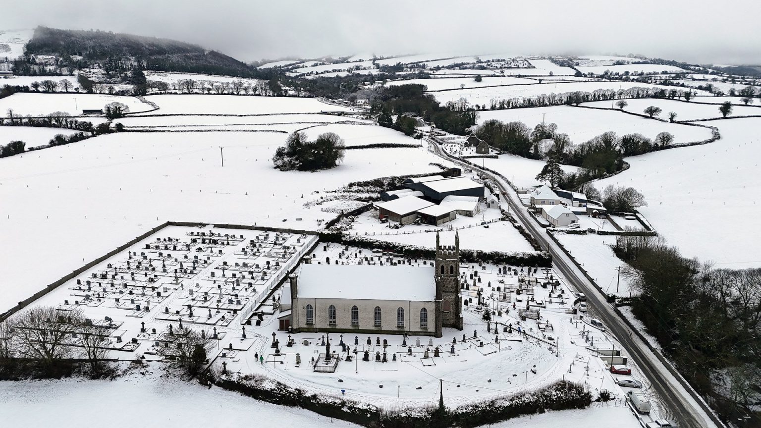
A rare amber weather alert for snow, issued by the Met Office, blanketed large swathes of northern England, triggering travel disruptions and warnings of potential power outages and loss of mobile phone service. Initially issued on Saturday evening, the amber warning was extended until Monday morning, accompanied by seven yellow alerts covering various parts of the UK, including Scotland, Northern Ireland, and regions across England and Wales. The Met Office predicted continued disruptions throughout Sunday night and into Monday, particularly in rural communities at risk of being cut off. Travelers were advised to anticipate delays and cancellations affecting rail journeys and flights, while drivers faced the threat of treacherous road conditions, potential collisions due to ice, and the possibility of becoming stranded.
Monday’s forecast brought little respite, with an icy start predicted across much of the north and west of the UK. Further rain, sleet, and snow were anticipated in some areas, while cloudy conditions and outbreaks of rain were expected elsewhere. The Met Office also cautioned about the risk of surface water flooding, adding another layer of complexity to travel conditions. The multiple yellow weather warnings highlighted the widespread impact of the wintry conditions, encompassing snow and ice in Scotland, ice in Northern Ireland, and a combination of snow and ice across northern England. Rain warnings were also in effect for the Midlands, Wales, and southern England, indicating the varied nature of the weather challenges facing the nation.
The severe weather brought the country to a standstill on Saturday, with widespread closures affecting roads, airports, and rail services. Flights were cancelled or delayed, impacting hundreds of travelers both departing and arriving in the UK. Manchester Airport and Liverpool John Lennon Airport temporarily closed runways due to heavy snow, with at least one international flight diverted twice. The coldest temperature recorded overnight was a bone-chilling -11C in Loch Glascarnoch, Scotland. Power outages affected over 1,000 homes across Wales and parts of southern and central England, further compounding the difficulties caused by the extreme weather.
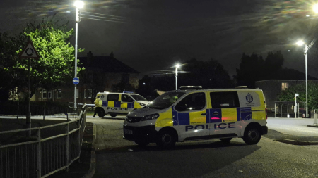
The snow and ice created hazardous road conditions, leading to closures and collisions. The M1 near Barnsley experienced significant disruption with several inches of snow causing “carnage,” stranding vehicles and requiring extensive recovery efforts. Road closures included the A628 Woodhead Pass and sections of the A1(M) and A1. In Manchester, crews worked tirelessly throughout the night, gritting and ploughing roads in an attempt to maintain accessibility. Incidents of overturned vehicles were also reported, including one on the A303 in Andover, Hampshire, while another driver had a lucky escape after flipping their car in standing water on the A3. Police even apprehended two drivers for reckless driving in a snowy retail park in Newport, South Wales.
Rail travel was also severely impacted, with numerous services cancelled or delayed due to the weather. London Waterloo experienced cancellations following a power loss, while passengers planning to travel on TransPennine routes, as well as those using Great Western Railway, LNER, Grand Central, ScotRail, Merseyrail, and Avanti West Coast services, faced disruptions. Northern services advised commuters to avoid travel altogether due to anticipated problems in Leeds. The combination of road and rail closures created significant travel challenges across the country.
The Met Office explained that the amber warning areas had seen significant snow accumulation as predicted. However, milder air moving into the southern half of the UK caused melting snow, leading to rain and an increased risk of flooding. Yellow rain warnings were issued for various regions, including Wales, parts of England, and the Midlands. The Environment Agency warned of potential river flooding in Lancashire and Warwickshire due to the combination of melting snow and rain, urging people to avoid swollen rivers and refrain from driving through flood water. The Met Office anticipated below-average temperatures throughout the week, with further snow likely, especially in the north, where temperatures might struggle to rise above freezing for several days. The possibility of snow in southern and central England and Wales mid-week was also highlighted.


