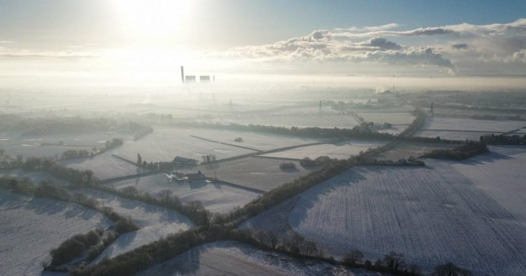
The United Kingdom is bracing for another wave of severe winter weather, with the Met Office issuing multiple yellow weather warnings for ice, snow, and fog across various regions. These warnings signal the continuation of the icy conditions that have gripped the nation, causing widespread disruption to travel and daily life. The severity of the situation is underscored by a dramatic aerial photograph captured by a drone over St Helens, depicting a thick blanket of mist shrouding the landscape, a stark visual representation of the prevailing frigid conditions.
The latest weather warnings paint a concerning picture of the evolving meteorological landscape. Four new yellow warnings for ice have been issued, targeting Wales, the East of England, the North East of England, and Northern Ireland. These warnings, effective from 4pm today until 10am tomorrow, highlight the imminent threat of icy surfaces, posing risks to pedestrians, motorists, and cyclists. Adding to the complexity of the situation, a separate yellow weather warning for ice has been issued for the South West of England, commencing at 3am tomorrow and lasting until 11am. These warnings underscore the widespread nature of the icy threat and the need for vigilance and preparedness.
The impact of the adverse weather conditions is already being felt across the country. Manchester Airport experienced significant disruptions, temporarily closing its runways due to “significant levels of snow.” This closure has resulted in delays for flights both departing from and arriving at the airport, impacting travel plans for countless passengers. The airport’s temporary closure serves as a stark reminder of the disruptive power of winter weather and its ability to paralyze critical infrastructure.
Beyond the immediate impact on air travel, the weather warnings also portend further disruptions to road and rail services. The Met Office forecasts challenging conditions for commuters and travelers in the affected areas, with ice posing a significant hazard on roads and potentially affecting rail operations. The combination of snow, ice, and fog creates a treacherous travel environment, demanding extra caution from all those venturing out.
The widespread nature of the weather warnings is evident in the geographical distribution of the alerts. Yellow alerts for snow, ice, and fog are in place for parts of the North West, Wales, Cornwall, and large swaths of Scotland and Northern Ireland. Meanwhile, the South East and South West are facing yellow warnings specifically for ice. This broad geographical coverage underscores the extensive reach of the winter weather and the potential for widespread disruption.
The severity of the cold snap is further emphasized by the predicted temperature drop, with some areas expected to experience bone-chilling lows of -16°C. This extreme cold poses significant health risks, particularly for vulnerable populations. The combination of ice, snow, and extreme cold necessitates careful preparation and precautions to mitigate the risks associated with these hazardous conditions. The ongoing weather situation demands continued monitoring and adherence to official guidance to ensure safety and minimize disruption.


