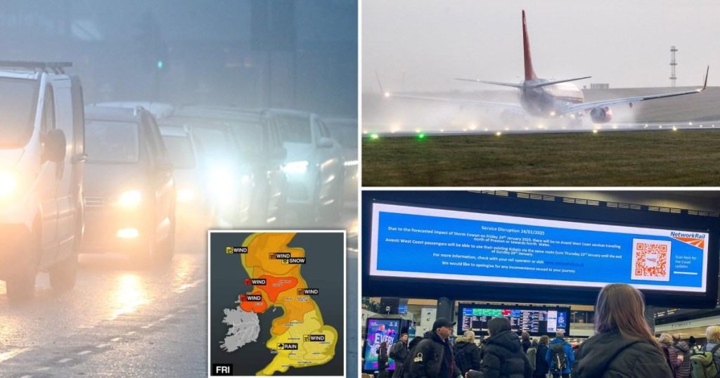
Storm Eowyn, the first named storm of the year, is poised to unleash a barrage of severe weather across the UK and Ireland, prompting widespread travel disruptions and warnings of potential “danger to life” winds. Originating in the Atlantic, the storm is forecast to make landfall in Ireland shortly after midnight before sweeping across the UK on Friday morning. The Met Office has issued severe weather warnings, including a rare red warning for wind in parts of Scotland, signifying the potential for extremely dangerous conditions. The storm’s impact will be multifaceted, bringing not only strong winds but also heavy rain, snow, and even the possibility of tornadoes.
The transportation network is bracing for significant disruptions. Train operators across the UK have issued “do not travel” warnings for numerous routes, particularly in Scotland and northern England. ScotRail has taken the precautionary measure of suspending all train services in Scotland for Friday. Operators like Avanti West Coast, Northern, CrossCountry, LNER, and Lumo have also advised against travel on various routes, primarily those north of major hubs like Preston, York, and Newcastle. While some operators like Merseyrail and Transport for Wales have not issued blanket warnings, they anticipate potential disruptions. Passengers are urged to check with their respective operators for the latest updates before attempting any rail journey.
Air travel is also expected to be affected. Ryanair has warned of potential disruptions to flights to and from Ireland, while airports in the affected regions are closely monitoring the situation. Both Edinburgh and Belfast Airports, along with those managed by AGS Airports (Aberdeen, Glasgow, and Southampton), have advised passengers to check with their airlines for flight status updates before traveling to the airport. The combination of high winds and potential for heavy precipitation could lead to flight delays and cancellations.
Road travel will also be hazardous, particularly for high-sided vehicles and vulnerable vehicles like caravans and motorcycles. National Highways has issued an amber severe weather warning for gales in North West and North East England, as well as Yorkshire, with gusts expected to reach 60-70 mph and potentially up to 90 mph in isolated areas. The A66 Pennine route and coastal routes are particularly vulnerable. In Scotland, where the red wind warning is in effect, bridge closures are likely, including the Forth Road Bridge, while restrictions may be imposed on the Queensferry Crossing and Clackmannanshire Bridge for high-sided vehicles and motorcycles.
Ferry services are also experiencing significant disruptions. Several Stena Line services between Holyhead and Dublin, as well as Fishguard and Rosslare, have been cancelled due to the adverse weather. Irish Ferries has also cancelled crossings between Dublin and Cherbourg, France. CalMac, the west coast ferry operator in Scotland, has warned of widespread disruptions and cancellations, with some services already axed. Northlink Ferries, serving the Northern Isles, has adjusted sailing times and warned of potential cancellations, particularly for morning ferries on Saturday. Passengers planning to travel by ferry are advised to check with their operators for the latest information.
The impact of Storm Eowyn is expected to be widespread and disruptive, affecting all modes of transportation. The combination of high winds, heavy rain, snow, and the possibility of tornadoes poses a significant threat to safety. Authorities and transportation operators are urging people to avoid travel if possible and to exercise extreme caution if travel is unavoidable. Staying updated on weather forecasts and travel advisories is crucial for minimizing the risk of encountering hazardous conditions. The storm’s impact is likely to be felt throughout Friday and potentially into Saturday, requiring vigilance and preparedness from the public.


