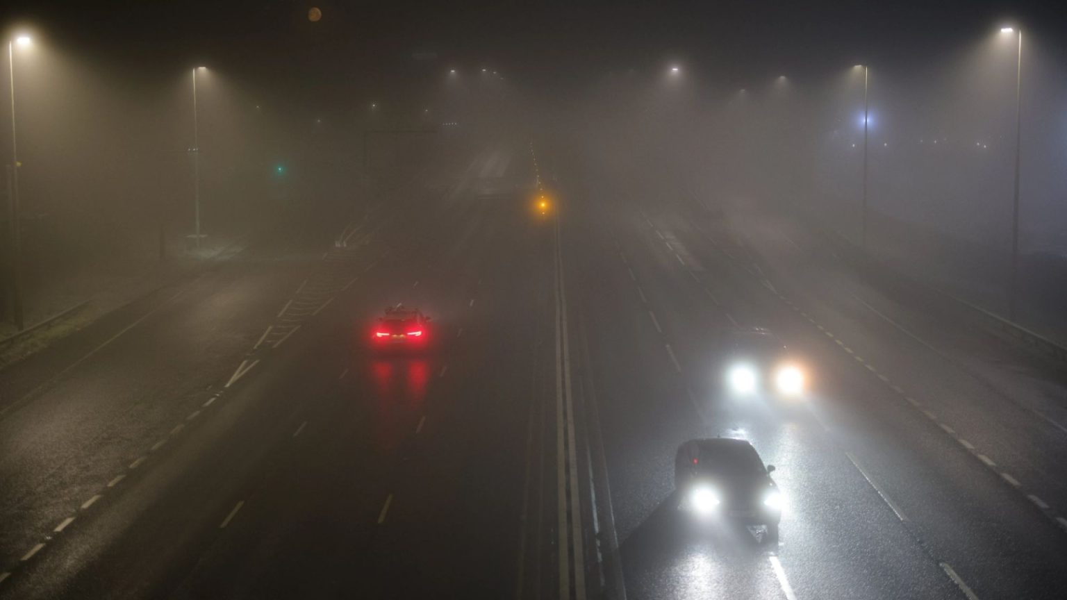
The UK experienced a significant cold snap in mid-January 2024, marked by freezing fog, widespread frost, and sub-zero temperatures. Altnaharra, in northern Scotland, recorded a frigid -18.9°C, marking the UK’s coldest January night in 15 years. This extreme cold prompted the UK Health Security Agency (UKHSA) to issue amber cold weather health alerts across all of England, extending them through January 14th. These alerts warn of increased risks to health, particularly for the elderly and those with pre-existing health conditions, with the possibility of a rise in deaths directly attributable to the cold. The Met Office, in conjunction with the UKHSA, monitors these conditions and issues alerts based on the severity and expected impact of the cold weather.
The weather patterns presented a stark east-west divide across the nation. Eastern regions bore the brunt of the cold, experiencing persistent frost and dense freezing fog patches, severely limiting visibility and posing hazardous driving conditions. Western areas fared slightly better, with temperatures a few degrees warmer due to incoming southerly winds bringing milder air. However, even these areas were not immune to the fog, which developed in patches, albeit less dense than in the east. Despite the widespread fog, some areas experienced occasional sunny spells once the fog cleared, particularly in the south of England and parts of eastern Scotland.
The Met Office’s five-day forecast predicted a continuation of the cold spell, especially in the east, with persistent fog and frost. Northwestern Scotland, however, anticipated persistent rain moving in later in the day. Temperatures remained below average in the southeast, clinging to the cold air mass, while other areas experienced more moderate conditions. Overnight, the south remained settled with the possibility of freezing fog forming under clear skies before cloudier conditions developed. Northern areas were expected to be windier, with rain and drizzle gradually spreading southward.
Moving into the following week, the forecast for Monday called for windy conditions in the north, with spells of rain spreading south from Scotland into northern England. Southern regions were predicted to be drier but overcast. Mild temperatures were anticipated, contributing to the rapid melting of any remaining snow cover. The longer-term outlook from Tuesday to Thursday indicated continued settled conditions in the south, although cloudy, with intermittent fog and occasional rain. Northern areas were expected to experience breezier conditions with more persistent rain arriving from the Atlantic. Mild temperatures were projected to continue across the country.
The extended amber alert highlights the seriousness of the cold weather and the potential impact on public health. The UKHSA advises individuals to take precautions to stay warm, especially vulnerable groups, including the elderly and those with pre-existing medical conditions. Checking on neighbors and relatives, ensuring adequate heating at home, and dressing warmly are some of the crucial steps recommended. Drivers are also advised to exercise caution due to the hazardous conditions created by freezing fog, reducing speed and allowing extra time for travel.
The combination of freezing temperatures, widespread fog, and extended cold weather alerts created a challenging situation across the UK. The distinct east-west divide in temperatures and weather conditions further complicated the picture. The Met Office’s ongoing monitoring and forecasts, coupled with the UKHSA’s health alerts, provide vital information to the public, enabling individuals and communities to prepare and mitigate the risks associated with the prolonged cold snap. The focus remains on protecting vulnerable populations and ensuring public safety amidst these challenging weather conditions.


